Lassonde receives $500,000 from PCI Geomatics to support global R&D
The Lassonde School of Engineering today received a gift with a value of $500,000 from PCI Geomatics, a world leader in geo-imaging products and solutions.
Headquartered in Markham, PCI Geomatics is a long-established partner of Lassonde providing software for the School’s Geomatics Engineering program, the only one of its kind in Ontario and one of only four in Canada.
Today’s announcement includes support for joint research and development projects undertaken by researchers from Lassonde and engineers from PCI and a series of online workshops bringing together members of PCI’s Education Alliance in South Africa, China, Taiwan and Canada culminating in a global symposium to be hosted at Lassonde.
In addition, the gift will create a new annual Dr. Robert Moses Lectureship in memory of the founder of PCI Geomatics. The topics will reflect the spirit of Dr. Moses’s ‘big thinking about the world and inter-relations between technology and society.
Joining today’s announcement were Professor Alan Moses and Sandra Moses representing the family of Dr. Robert “Bob” Moses.
“PCI is a highly impressive Canadian firm with a global reach in the rapidly growing fields of remote sensing and image processing technology,” said Janusz Kozinski, Founding Dean of the Lassonde School of Engineering.
“We are proud to be collaborating with PCI to bring the very latest geomatics software to our students, to build connections with members of PCI’s Strategic Education Alliance across the globe, and to ensure the entrepreneurial vision of Bob Moses lives on in future generations of engineers,” he added.
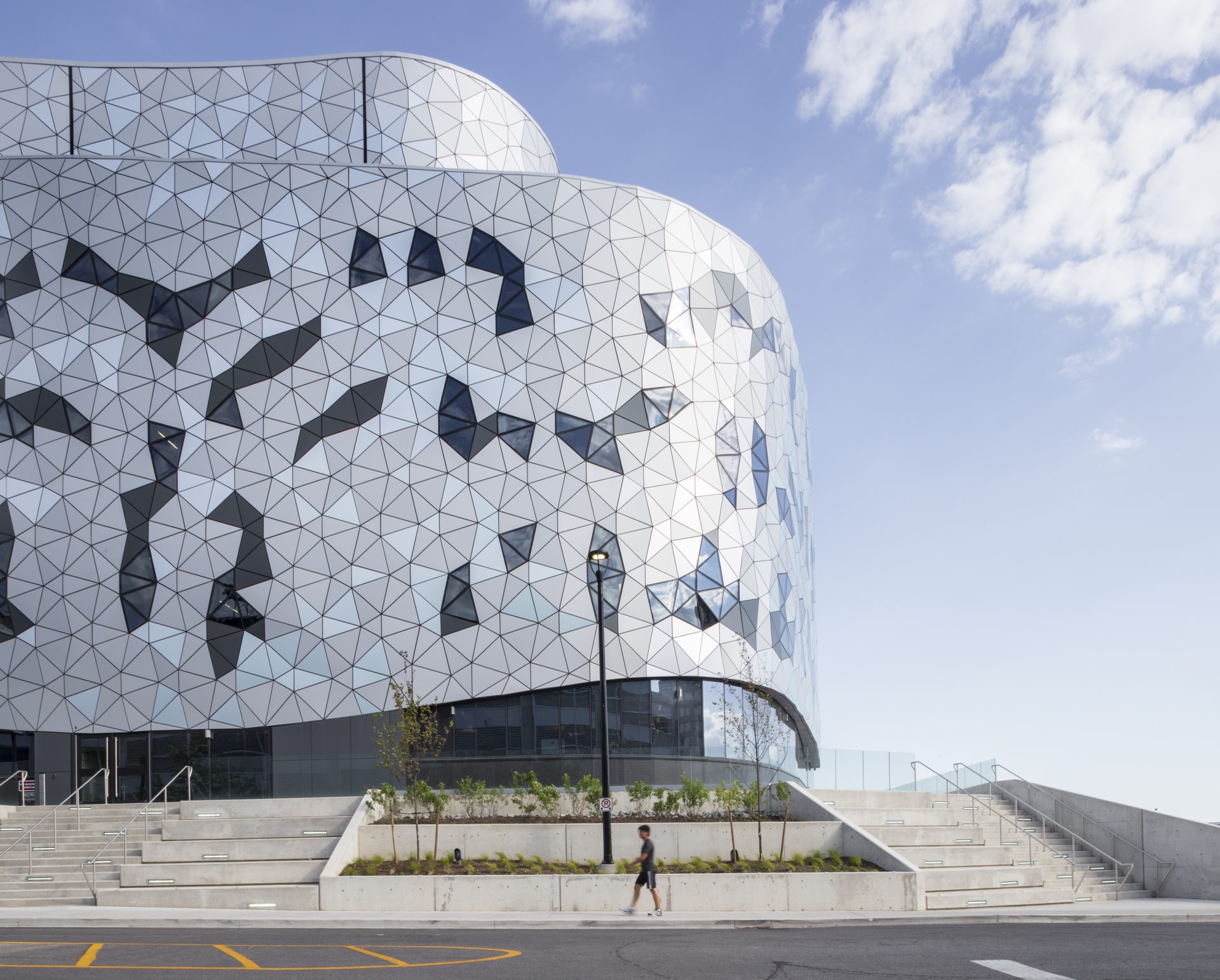
The agreement announced today at the Bergeron Centre for Engineering Excellence, the new home of the Lassonde School of Engineering, will also provide 10-year software licenses enabling Lassonde users to generate practical, innovative solutions and increase commercialization prospects.
PCI Geomatics is the developer of Geomatica®- a complete and integrated desktop software that features tools for remote sensing, digital photogrammetry, geospatial analysis, map production and mosaicking. This enables users to apply imagery in support of a wide range of applications such as the environment, agriculture, security and intelligence, defence, as well as in the oil and gas industries.