Drones take over Lassonde during international geomatics conference
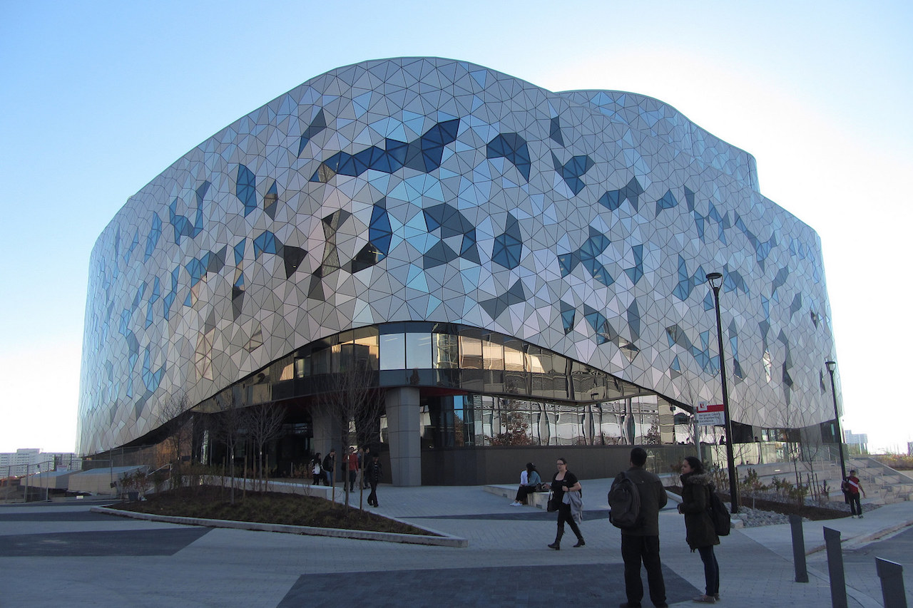
An international geomatics conference that landed in North America for the first time ran for three days at Lassonde School of Engineering and focused on the topic of drones.
From Aug. 30 to Sept. 2, the Unmanned Aerial Vehicles in Geomatics (UAV-g) conference explored the uses and implications of small unmanned aerial vehicles (sUAS) – or drones – through discussion, demonstration and more.
Technical, environmental and social implications of sUAS were highlights of the conference, and scientists and engineers speaking at the event discussed topics such as navigation, tracking, regulations, sensors, mapping, monitoring and data.
The conference featured a variety of events including workshops, technical sessions, exhibits and a live demonstration day at Markham Airport.
UAV-g 2015 was designed to bring together experts in photogrammetry and remote sensing, surveying, robotic mapping, computer vision, artificial intelligence, aerospace engineering, geosciences and various users’ communities.
According to UAV-g, using drones as data acquisition platforms and measurement instruments has become attractive for many emerging applications.
The Lassonde School of Engineering was one of three key supporters of the conference; the other two were the International Society for Photogrammetry and Remote Sensing and the Canadian Institute for Geomatics. The opening remarks were delivered by Janusz Kozinski, founding dean of Lassonde School of Engineering; and Sushanta Mitra, assistant vice-president, York Research and Innovation; as well as Lassonde Professor in Geomatics Engineering Costas Armenakis, chair of conference.
Keynote speakers discussed the wide-ranging implications of sUAS and the exciting possibilities ahead. Professor Kimon Valavanis (University of Denver) shared insights on advances in fields of drone autonomy and sense-detect-and-avoid technique.
York University Professor Michael Jenkin introduced participants to the concept of “flying underwater” and the amphibious robot, while Emeritus Professor David Bird (McGill University) proposed innovative applications to wildlife research, monitoring and environmental management in the future.
Two poster paper awards were presented, with the Best Poster Paper award handed to a team from Natural Resources Canada for their paper “UAV photogrammetry for mapping and monitoring of northern permafrost landscapes”.
In addition, workshops assembled over the three-day conference to discuss sUAS topics such as regulations and challenges.
The conference was a huge success, and hosted 260 participants from 34 countries.
The 71 papers presented at the conference are published and accessible through ISPRS Annals and ISPRS Archives publications.
UAV-g 2017, the fourth conference of its kind, will take place in Bonn, Germany.